
Kitchen worktops across Barking and Dagenham
We template, fabricate and fit in 24 Barking and Dagenham neighbourhoods, across 6 postcode districts.
What we cover here
24 neighbourhoods across Barking and Dagenham
The commonest housing among them is ex-local-authority flats and estates (16 areas), then post-war terraces and 1960s housing (15).
7
How we cover it
Covered on our east London run
Barking and Dagenham is covered on our east London run, all 24 neighbourhoods of it, along with Havering, Newham and Redbridge.
Postcode districts
IG11 is the most shared, covering 10 of the 24 areas listed.
- IG11
- RM6
- RM8
- RM9
- RM10
- RM13
Housing stock
The housing eras across these 24 areas, commonest first.
Housing archetypes
The housing here
What the figures say about Barking and Dagenham
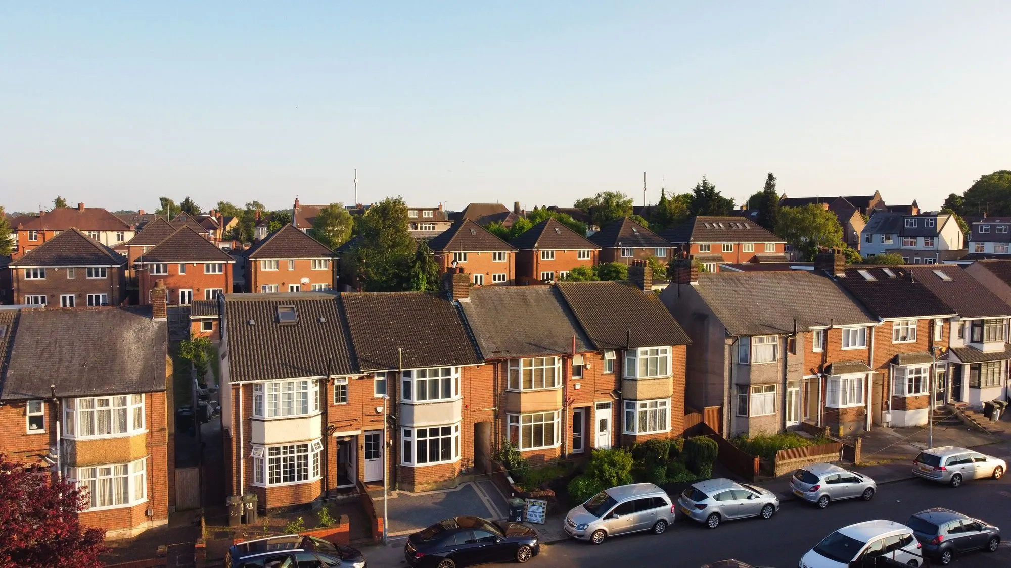
The housing record for Barking and Dagenham shows that 0.5% of homes are in council tax band F or higher, lower than any other London borough. Inter-war building accounts for 49.9% of the stock, one of the highest shares in London.
The stock here is led by inter-war homes at 49.9%, with post-war homes at 20% behind it, and that mix is what a worktop in Barking and Dagenham is usually going into.
Across Barking and Dagenham, homes with four or more bedrooms are 3.5% of the stock, the lowest of the 33 London boroughs, and 2.1% of homes sit in converted or shared houses, one of the lowest shares in London.
About 81,640 homes, 22 statistical areas, 6 postcode districts and 24 neighbourhood pages: that is Barking and Dagenham on our list.
Barking and Dagenham
Every area we cover in the borough
Inter-war housing runs from 0% of homes in Thames View to 83% in Parsloes; homes with four or more bedrooms from 1% in Gascoigne to 9% in Upney.
| Area | Postcodes | Main housing | Flats | Pre-1919 | Services |
|---|---|---|---|---|---|
| Alibon | RM10 | ex-local-authority flats and estates | 20% | 1% | |
| Barking | IG11 | Victorian and Edwardian terraces | 48% | 15% | |
| Barking Riverside | IG11 | new-build flats and apartments | 42% | 12% | |
| Beam Park | RM13 · RM9 | new-build flats and apartments | 25% | 0% | |
| Becontree | RM8 · RM9 | ex-local-authority flats and estates | 19% | 1% | |
| Becontree Heath | RM8 · RM10 | 1930s and inter-war semis | 14% | 1% | |
| Castle Green | RM9 · IG11 | 1930s and inter-war semis | 38% | 4% | |
| Chadwell Heath | RM6 | Victorian and Edwardian terraces | 35% | 14% | |
| Creekmouth | IG11 | warehouse and wharf conversions | 42% | 12% | |
| Dagenham | RM9 · RM10 | ex-local-authority flats and estates | 26% | 1% | |
| Dagenham Heathway | RM9 · RM10 | ex-local-authority flats and estates | 26% | 1% | |
| Dagenham Village | RM10 | period detached houses and villas | 24% | 1% | |
| Eastbrookend | RM10 | ex-local-authority flats and estates | 15% | 1% | |
| Gascoigne | IG11 | ex-local-authority flats and estates | 95% | 1% | |
| Goresbrook | RM9 | ex-local-authority flats and estates | 32% | 0% | |
| Longbridge | IG11 | Victorian and Edwardian terraces | 24% | 1% | |
| Marks Gate | RM6 | ex-local-authority flats and estates | 41% | 1% | |
| Parsloes | RM9 | ex-local-authority flats and estates | 19% | 0% | |
| Rippleside | IG11 | Victorian and Edwardian terraces | 23% | 0% | |
| Scrattons Farm | IG11 | ex-local-authority flats and estates | 32% | 0% | |
| Thames View | IG11 | ex-local-authority flats and estates | 58% | 0% | |
| Upney | IG11 | 1930s and inter-war semis | 24% | 1% | |
| Valence | RM8 | ex-local-authority flats and estates | 14% | 1% | |
| Whalebone | RM8 | 1930s and inter-war semis | 22% | 6% |
Questions
Worktops in the borough, answered
01Do you fit worktops in Barking and Dagenham?
Yes. 6 postcode districts (IG11, RM6, RM8, RM9, RM10 and RM13) take in all 24 Barking and Dagenham neighbourhoods we list, from Alibon to Whalebone alphabetically, and every one is covered on our east London run.
02Which Barking and Dagenham neighbourhoods do you cover?
24 in all: Alibon, Barking, Barking Riverside, Beam Park, Becontree, Becontree Heath, Castle Green, Chadwell Heath, Creekmouth, Dagenham, Dagenham Heathway, Dagenham Village, Eastbrookend, Gascoigne, Goresbrook, Longbridge, Marks Gate, Parsloes, Rippleside, Scrattons Farm, Thames View, Upney, Valence and Whalebone. Each name opens its own page.
03What does stone cost per square metre in Barking and Dagenham?
The stone alone, supplied: the middle half of the catalogue costs £150–£270 for quartz, £148–£250 for granite and £250–£300 for sintered stone per square metre. In Barking and Dagenham, 0.5% of homes sit in council tax band F or above, the lowest of the 33 London boroughs, and islands and second slabs belong to the bigger homes.
04Does a conversion flat in Barking and Dagenham need anything different?
The material, no; the pieces, often. In Barking and Dagenham, 2.1% of homes are in converted or shared houses, one of the lowest shares in London. A converted house brings a turning stair and walls that are seldom square, so the template is taken once the units are fixed and any join is placed where the carry needs it.
Reviews
5.0 from 35 Google reviews
“I had a great experience with Worktop WorX. They were quick, friendly and worked with my weird work schedule to get this done in under two weeks. Would definitely use them again for any future projects.”
What we do
The 6 jobs, wherever you are in the borough
Stone worktops
Read more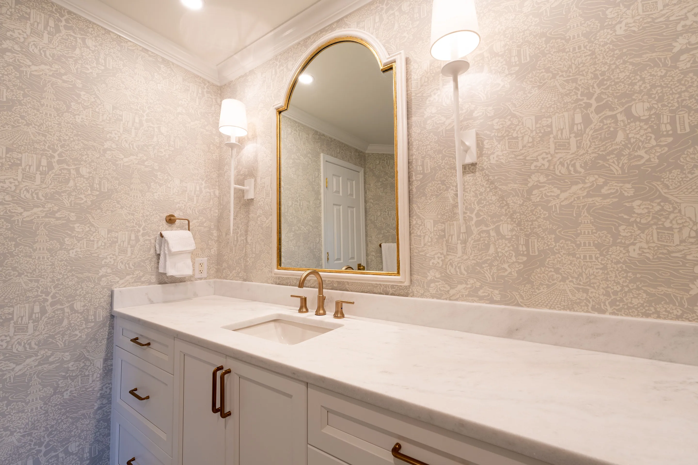 Bathroom
 worktops
Read the detail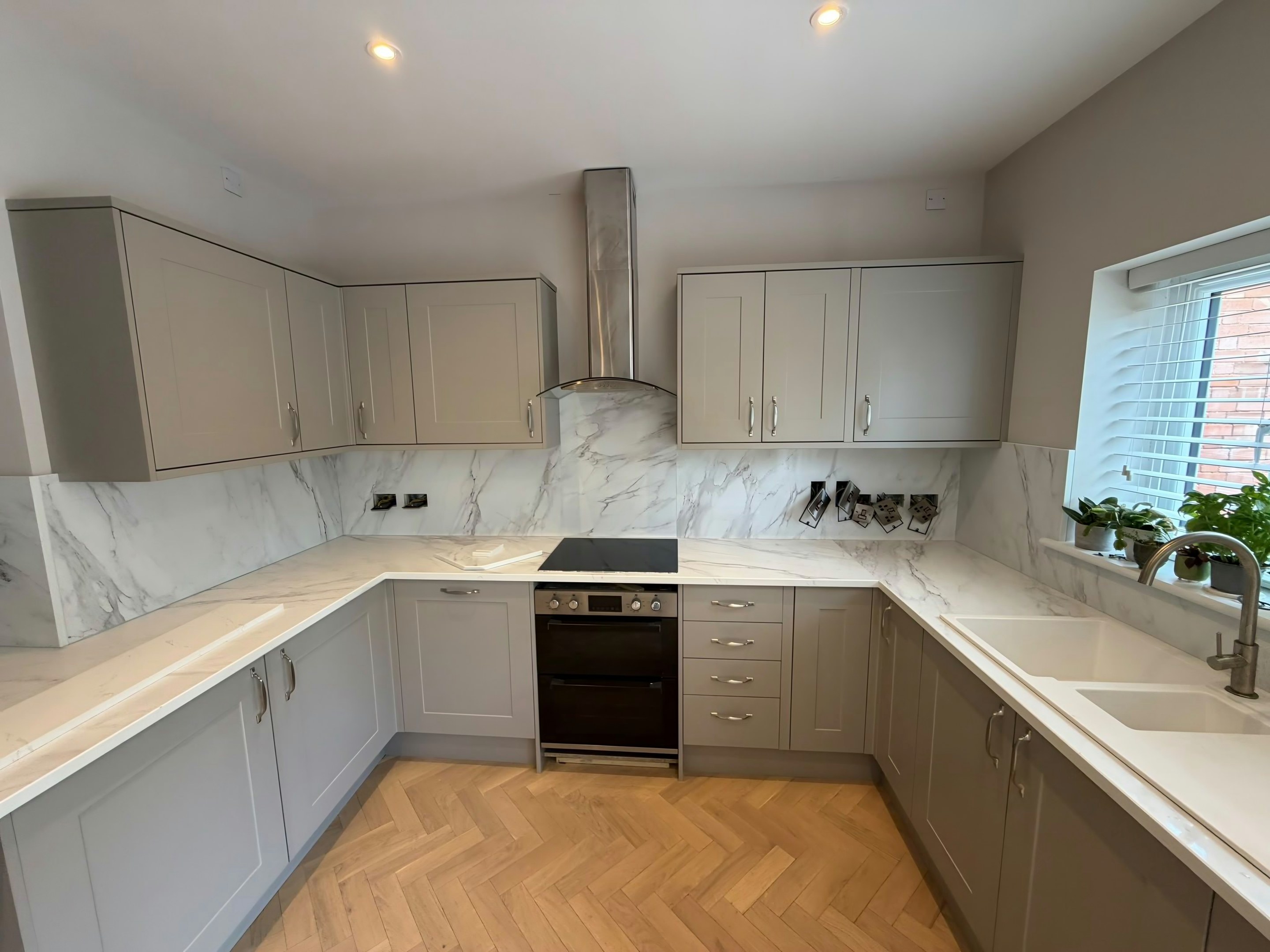 Replacement
Worktop replacement
The best fit for the housing in 15 of the 24 Barking and Dagenham areas.
Read the detail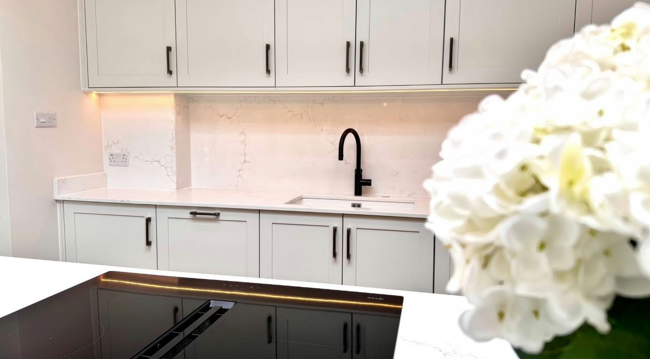 Installation
Worktop installation
The best fit for the housing in 5 of the 24 Barking and Dagenham areas.
Read the detail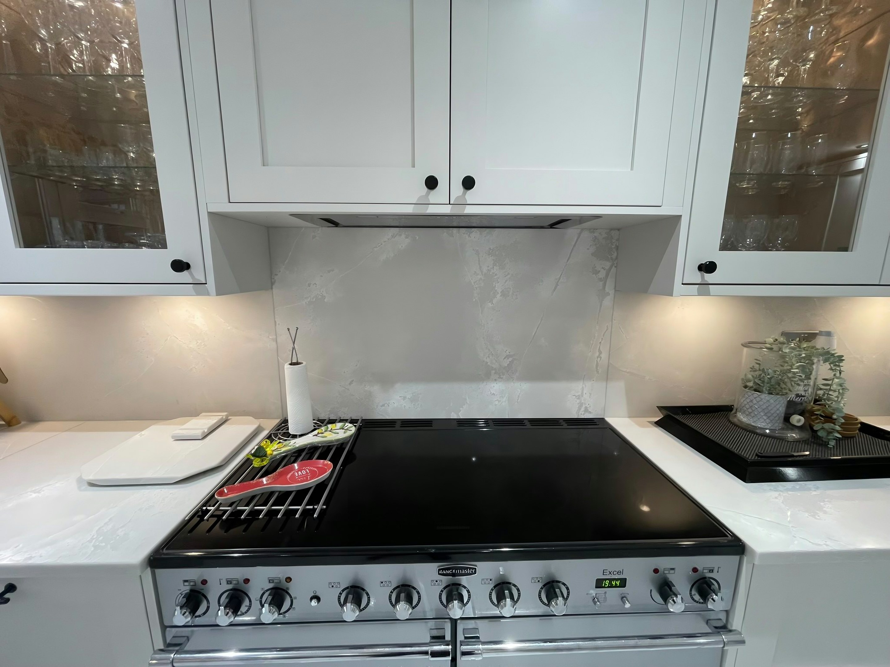 Splashbacks
Worktop splashbacks & upstands
Read the detail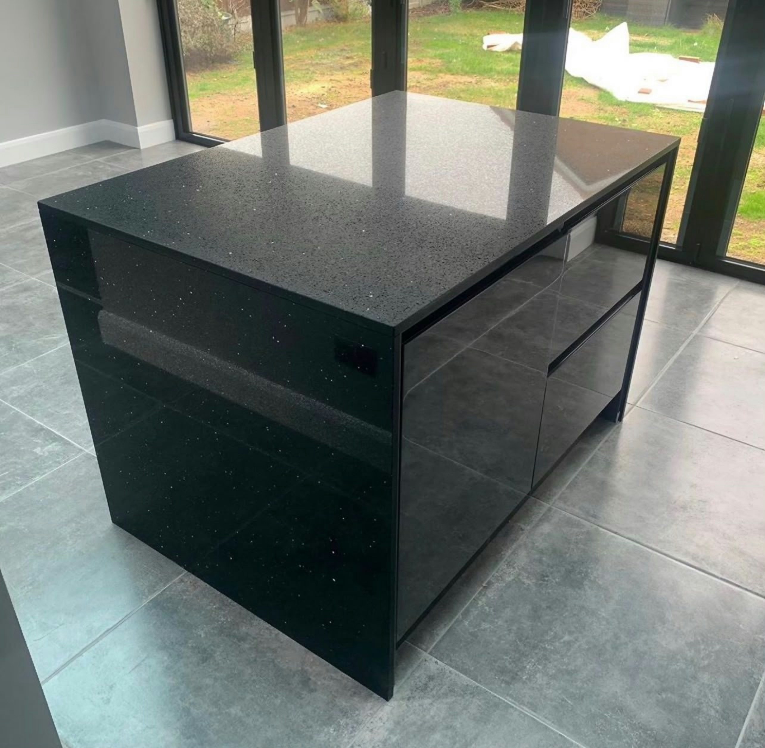 Fabrication
Worktop fabrication
Every Barking and Dagenham area
Read the detail
By material
Worktop materials in Barking and Dagenham
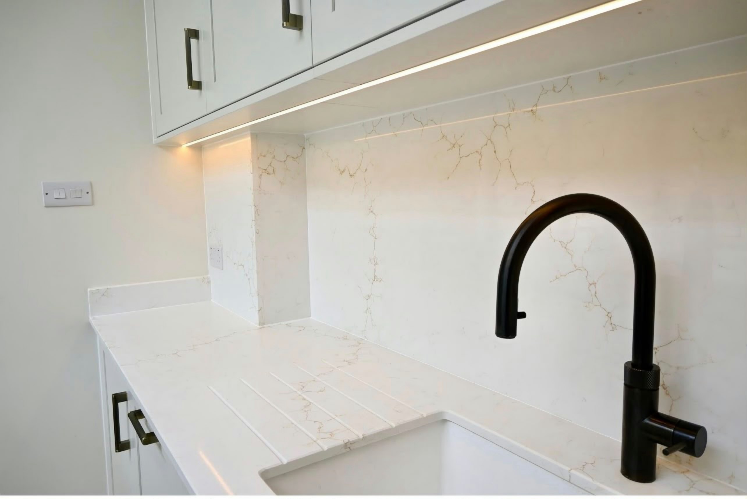
Quartz in Barking and Dagenham
In Barking and Dagenham, council tax bands F to H cover 0.5% of homes, the bottom figure of all 33 London boroughs.
Read more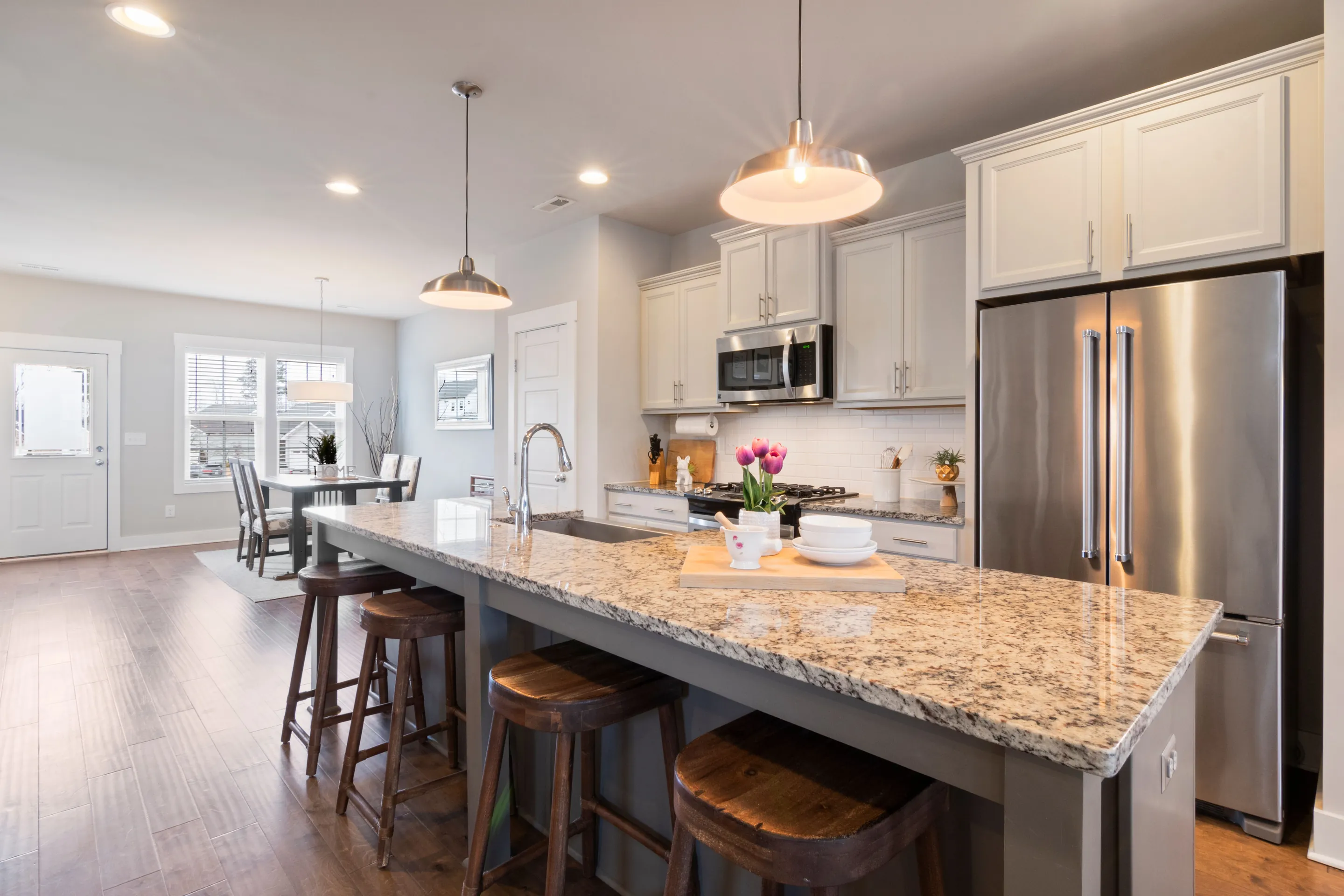
Granite in Barking and Dagenham
In Barking and Dagenham, inter-war building accounts for 49.9% of the stock, among the highest in London.
Read more
Dekton in Barking and Dagenham
In Barking and Dagenham, flats make up 36.2% of homes, one of the lowest shares in London.
Read more
Next door
Boroughs this one runs into
Barking and Dagenham borders 5 boroughs; 3 of them are on the same east London run.
Next step
Tell us where in Barking and Dagenham the kitchen is
Send the postcode (one of the 6 Barking and Dagenham districts we list) and rough run lengths, and we come back with an itemised quote and template dates on the east London run.
- Plans or photos are enough
- Itemised written quote
- Free to quote