
Kitchen worktops across Havering
We template, fabricate and fit in 27 Havering neighbourhoods, across 10 postcode districts.
What we cover here
27 neighbourhoods across Havering
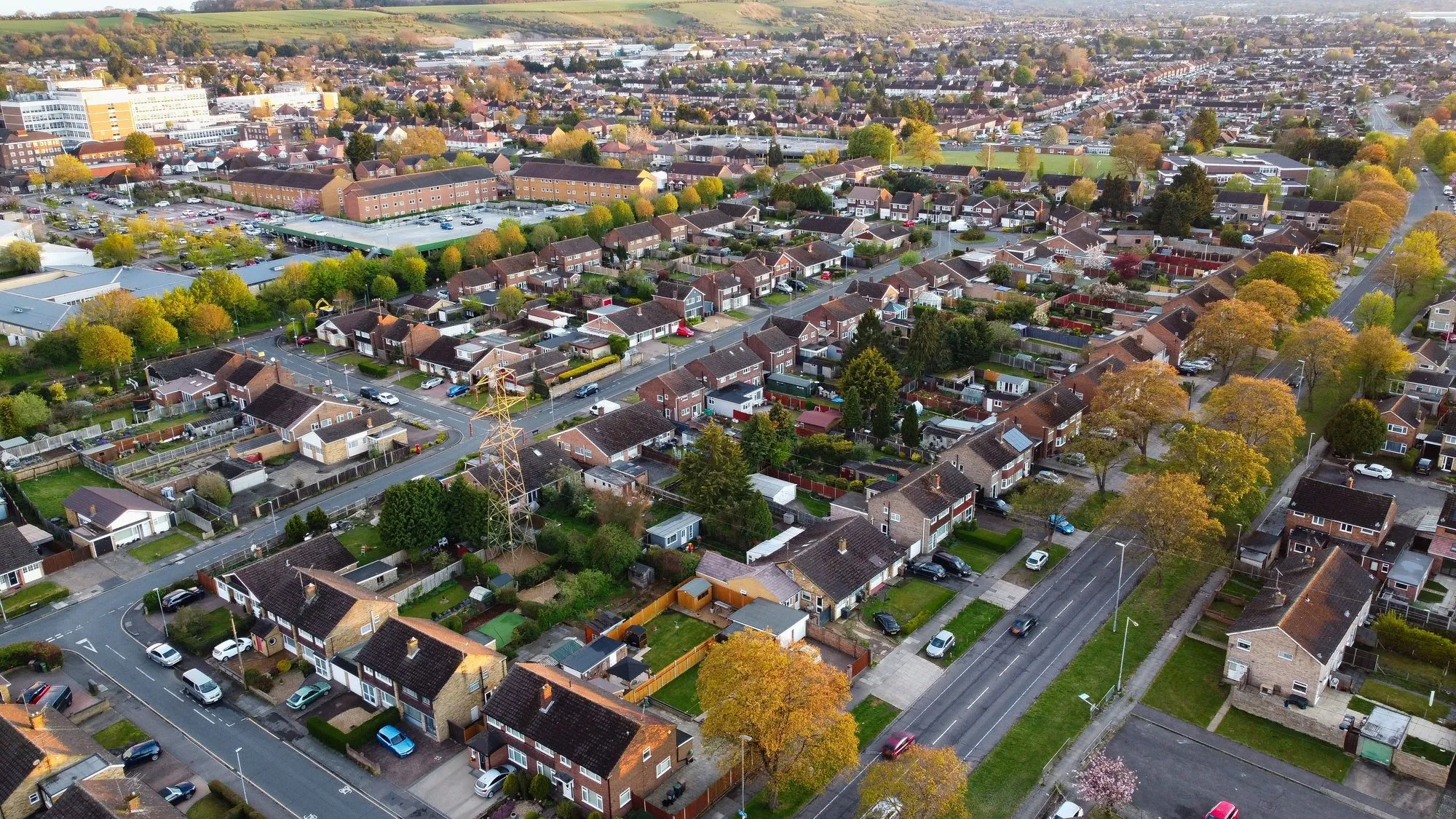
The commonest housing among them is 1930s and inter-war semis (20 areas), then period detached houses and villas (16).
6
How we cover it
Covered on our east London run
Havering is covered on our east London run, all 27 neighbourhoods of it, along with Barking and Dagenham and Redbridge.
Postcode districts
RM11 is the most shared, covering 5 of the 27 areas listed.
- RM1
- RM2
- RM3
- RM4
- RM5
- RM7
- RM11
- RM12
- RM13
- RM14
Housing stock
The housing eras across these 27 areas, commonest first.
Housing archetypes
The housing here
What the figures say about Havering
On the published figures for Havering, flats make up 25.6% of homes, lower than any other London borough. Owner-occupiers live in 69.5% of homes, higher than any other London borough.
By build period the biggest group in the borough is post-war homes at 40.4%, then inter-war homes at 35.7%, which is the mix the template has to deal with.
Two other figures matter for a worktop round in Havering: 21.5% of households do not have a car, lower than any other London borough, and 1.7% of homes are in converted or shared houses, among the lowest in London.
About 107,960 homes, 30 statistical areas, 10 postcode districts and 27 neighbourhood pages: that is Havering on our list.
Havering
Every area we cover in the borough
Inter-war housing runs from 3% of homes in Noak Hill to 74% in North Ockendon; homes with four or more bedrooms from 3% in Harold Hill to 53% in Emerson Park.
| Area | Postcodes | Main housing | Flats | Pre-1919 | Services |
|---|---|---|---|---|---|
| Ardleigh Green | RM11 | 1930s and inter-war semis | 21% | 0% | |
| Chase Cross | RM5 | 1930s and inter-war semis | 25% | 1% | |
| Collier Row | RM5 | 1930s and inter-war semis | 12% | 0% | |
| Corbets Tey | RM14 | period detached houses and villas | 2% | 8% | |
| Cranham | RM14 | period detached houses and villas | 13% | 8% | |
| Elm Park | RM12 | ex-local-authority flats and estates | 18% | 1% | |
| Emerson Park | RM11 | period detached houses and villas | 11% | 7% | |
| Gidea Park | RM2 | period detached houses and villas | 42% | 4% | |
| Hacton | RM12 | 1930s and inter-war semis | 10% | 0% | |
| Harold Hill | RM3 | ex-local-authority flats and estates | 32% | 0% | |
| Harold Park | RM3 | 1930s and inter-war semis | 27% | 5% | |
| Harold Wood | RM3 | 1930s and inter-war semis | 27% | 5% | |
| Havering-atte-Bower | RM4 | Period cottage | 25% | 1% | |
| Heath Park | RM2 · RM11 | 1930s and inter-war semis | 39% | 32% | |
| Hornchurch | RM11 · RM12 | 1930s and inter-war semis | 47% | 3% | |
| Mawneys | RM7 | Victorian and Edwardian terraces | 19% | 7% | |
| Noak Hill | RM3 | Rural cottage | 17% | 1% | |
| North Ockendon | RM14 | Farmhouse | 2% | 8% | |
| Rainham | RM13 | period detached houses and villas | 16% | 6% | |
| Rise Park | RM1 | 1930s and inter-war semis | 4% | 0% | |
| Romford | RM1 · RM7 | Victorian and Edwardian terraces | 35% | 15% | |
| Rush Green | RM7 | 1930s and inter-war semis | 44% | 5% | |
| South Hornchurch | RM13 | ex-local-authority flats and estates | 13% | 0% | |
| Squirrels Heath | RM2 · RM11 | 1930s and inter-war semis | 42% | 4% | |
| Upminster | RM14 | Victorian and Edwardian terraces | 14% | 7% | |
| Upminster Bridge | RM12 · RM14 | 1930s and inter-war semis | 27% | 1% | |
| Wennington | RM13 | period detached houses and villas | 7% | 3% |
Questions
Worktops in the borough, answered
01Is Havering in your fitting area?
Yes, all 27 Havering neighbourhoods we list, from Ardleigh Green to Wennington alphabetically, across 10 postcode districts (RM1, RM2, RM3, RM4, RM5, RM7 and 4 more), all covered on our east London run.
02What neighbourhoods in Havering have their own page?
All 27 of these, each with its own page: Ardleigh Green, Chase Cross, Collier Row, Corbets Tey, Cranham, Elm Park, Emerson Park, Gidea Park, Hacton, Harold Hill, Harold Park, Harold Wood, Havering-atte-Bower, Heath Park, Hornchurch, Mawneys, Noak Hill, North Ockendon, Rainham, Rise Park, Romford, Rush Green, South Hornchurch, Squirrels Heath, Upminster, Upminster Bridge and Wennington.
03What does stone cost per square metre in Havering?
The stone alone, supplied: the middle half of the catalogue costs £150–£270 for quartz, £148–£250 for granite and £250–£300 for sintered stone per square metre. In Havering, council tax bands F to H cover 9.5% of homes, below the London middle, and an island or a second slab comes with the bigger homes.
04Can you get a stone worktop into a flat in Havering?
Yes. In Havering, flats make up 25.6% of homes, the bottom figure of all 33 London boroughs. In a flat the route matters more than the room: the stairwell, the lift and the turns are measured at survey and the pieces sized to what will physically go up. Where a full-length piece will not make a turn, the join is planned into the design rather than improvised on the day.
Reviews
5.0 from 35 Google reviews
“Nice work from worktop worx. Highly recommended”
What we do
The 6 jobs, wherever you are in the borough
Stone worktops
Read more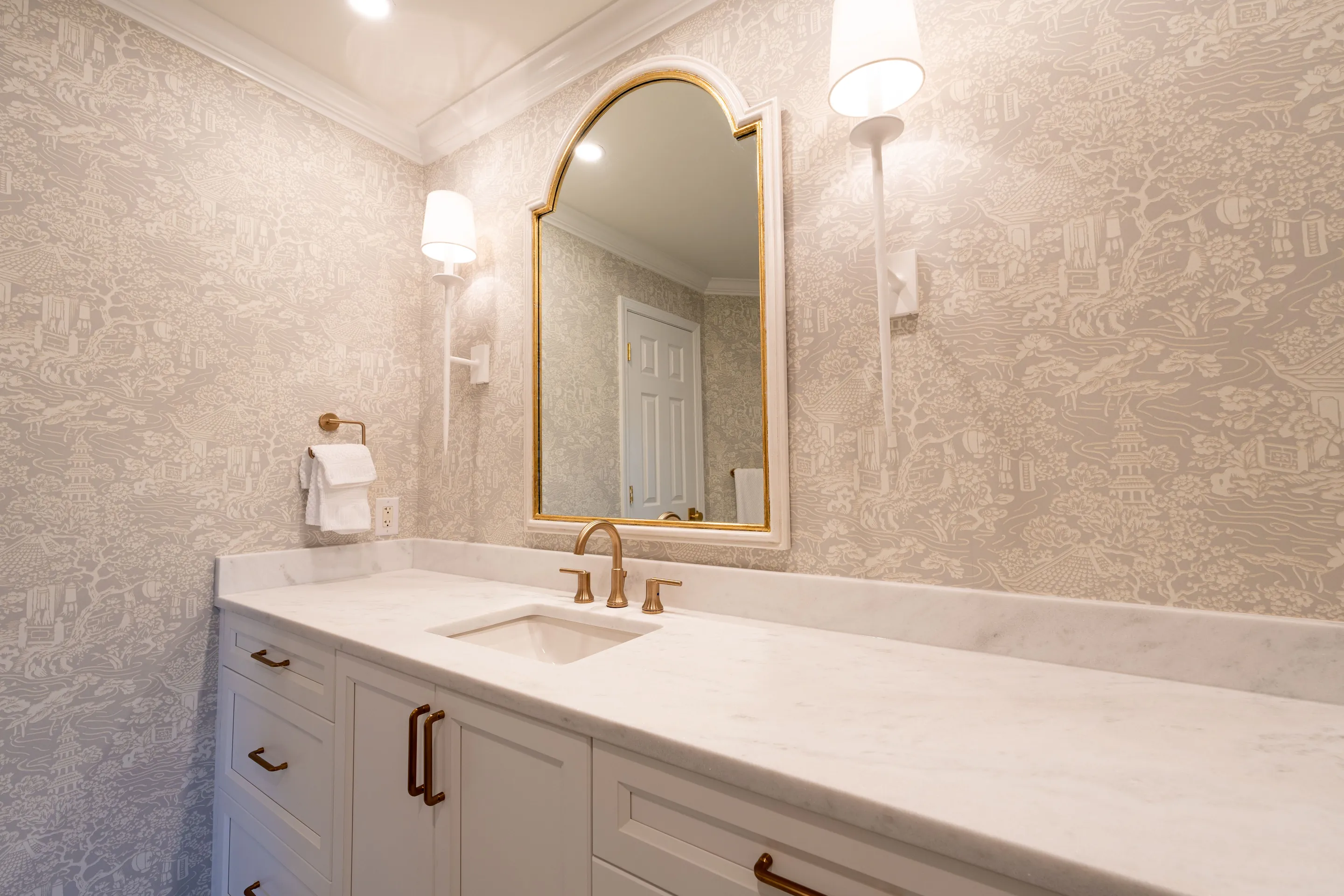 Bathroom
 worktops
Read the detail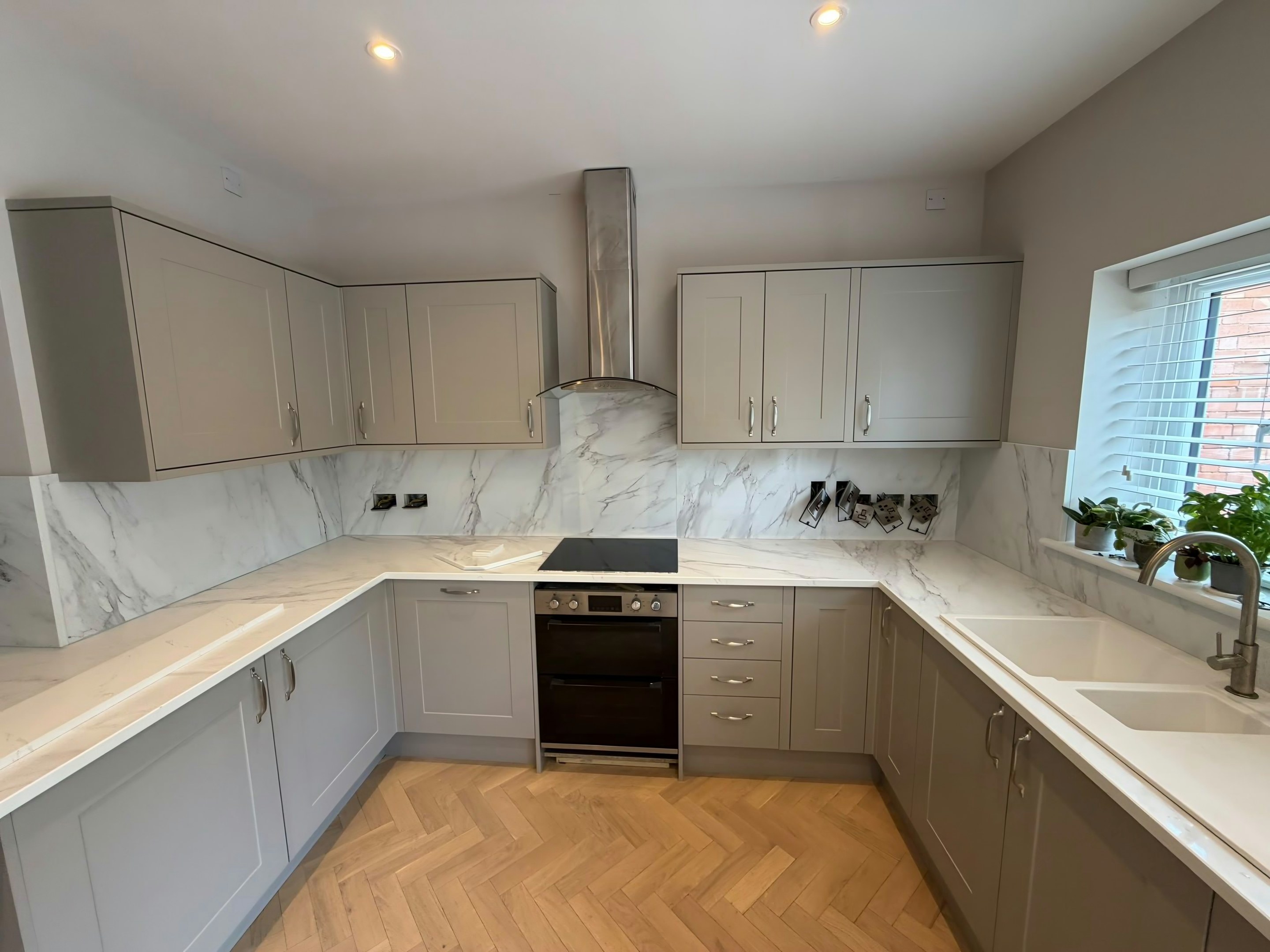 Replacement
Worktop replacement
The best fit for the housing in 10 of the 27 Havering areas.
Read the detail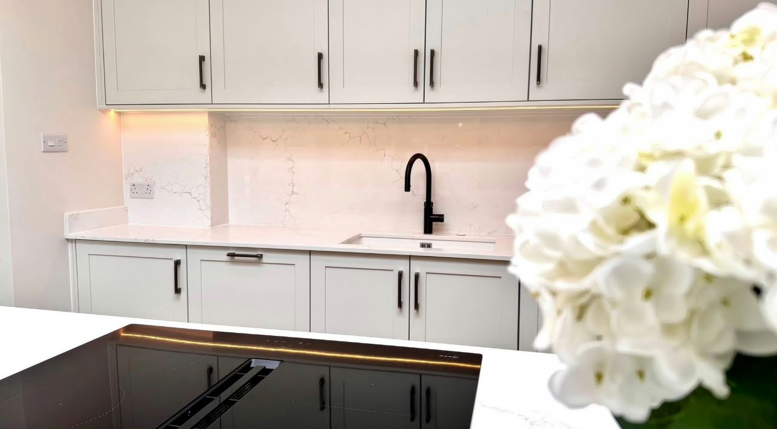 Installation
Worktop installation
The best fit for the housing in 7 of the 27 Havering areas.
Read the detail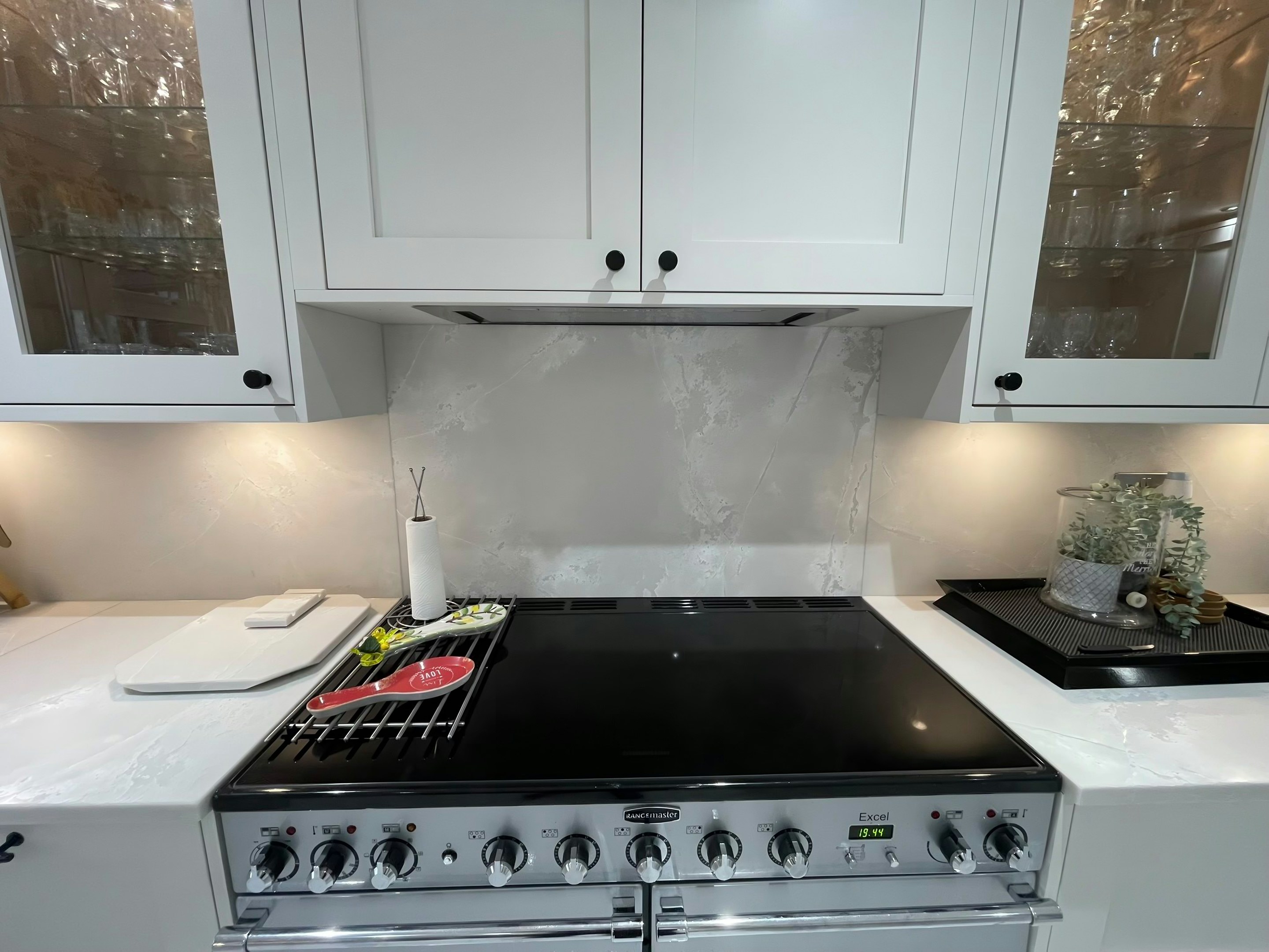 Splashbacks
Worktop splashbacks & upstands
Read the detail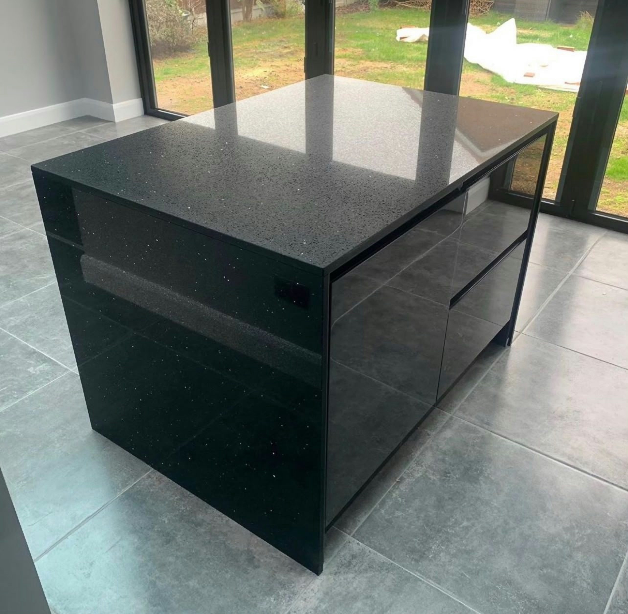 Fabrication
Worktop fabrication
Every Havering area
Read the detail
By material
Worktop materials in Havering
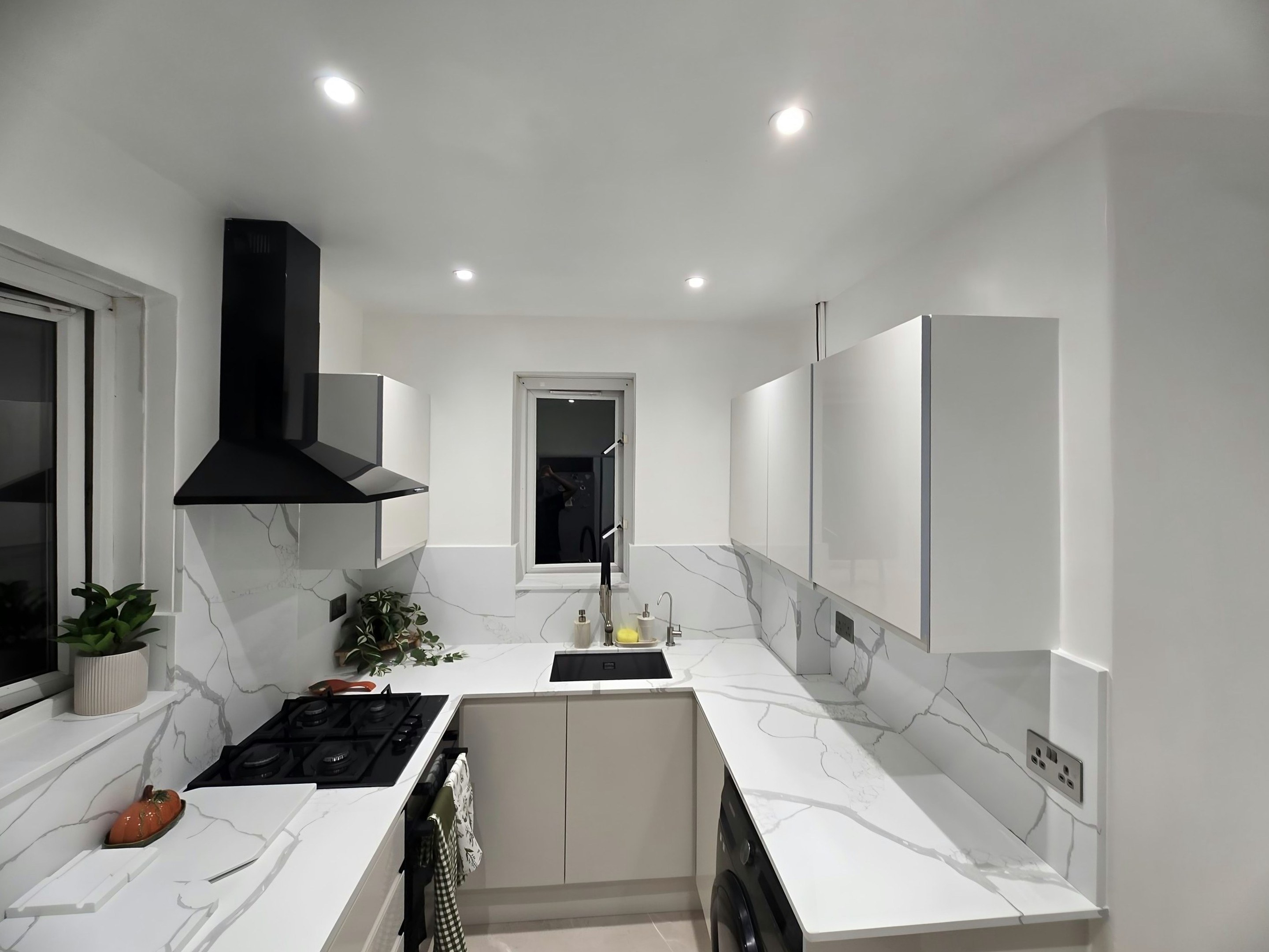
Quartz in Havering
In Havering, flats make up 25.6% of homes, the lowest of the 33 London boroughs.
Read more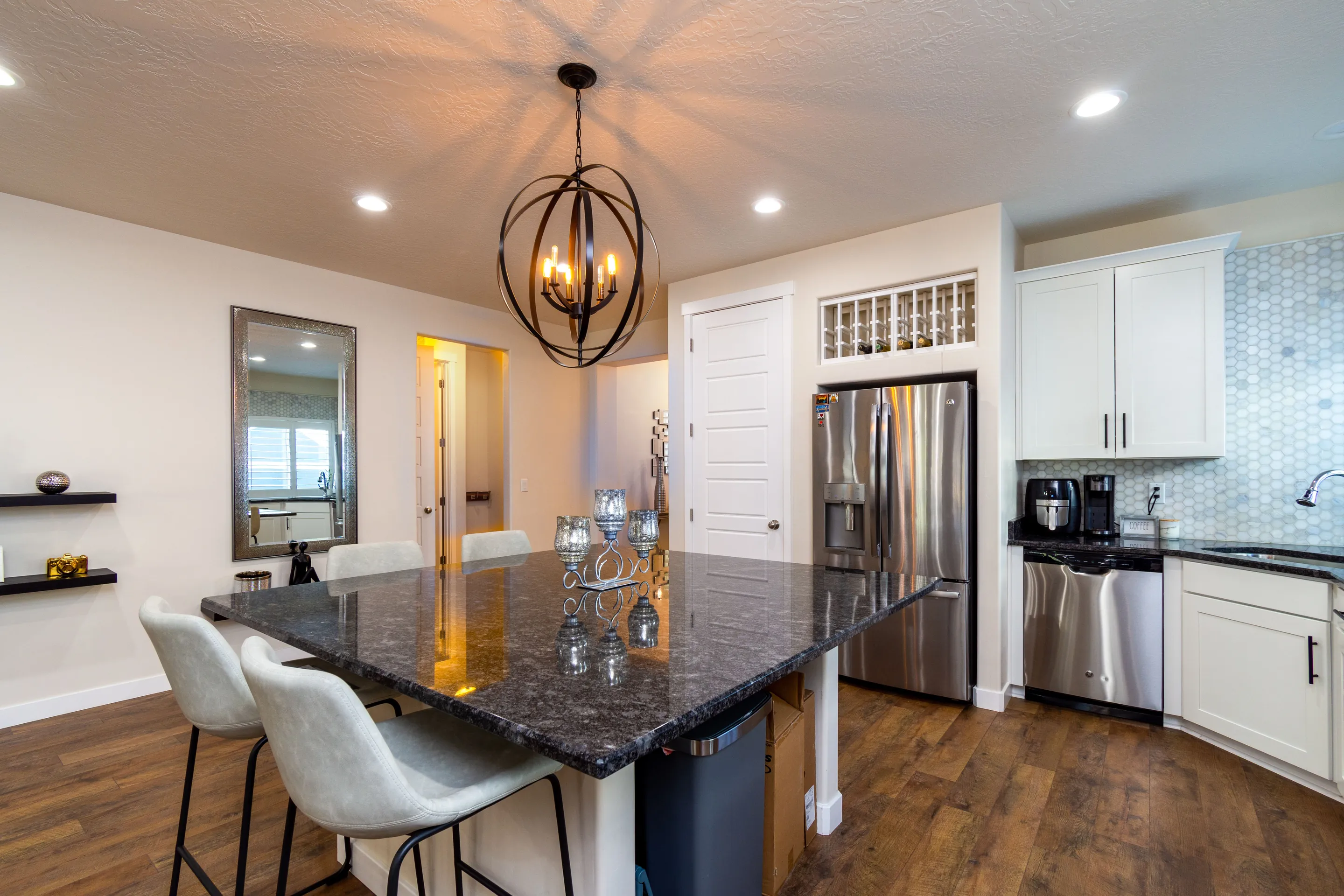
Granite in Havering
In Havering, owner-occupiers live in 69.5% of homes, the top figure of all 33 London boroughs.
Read more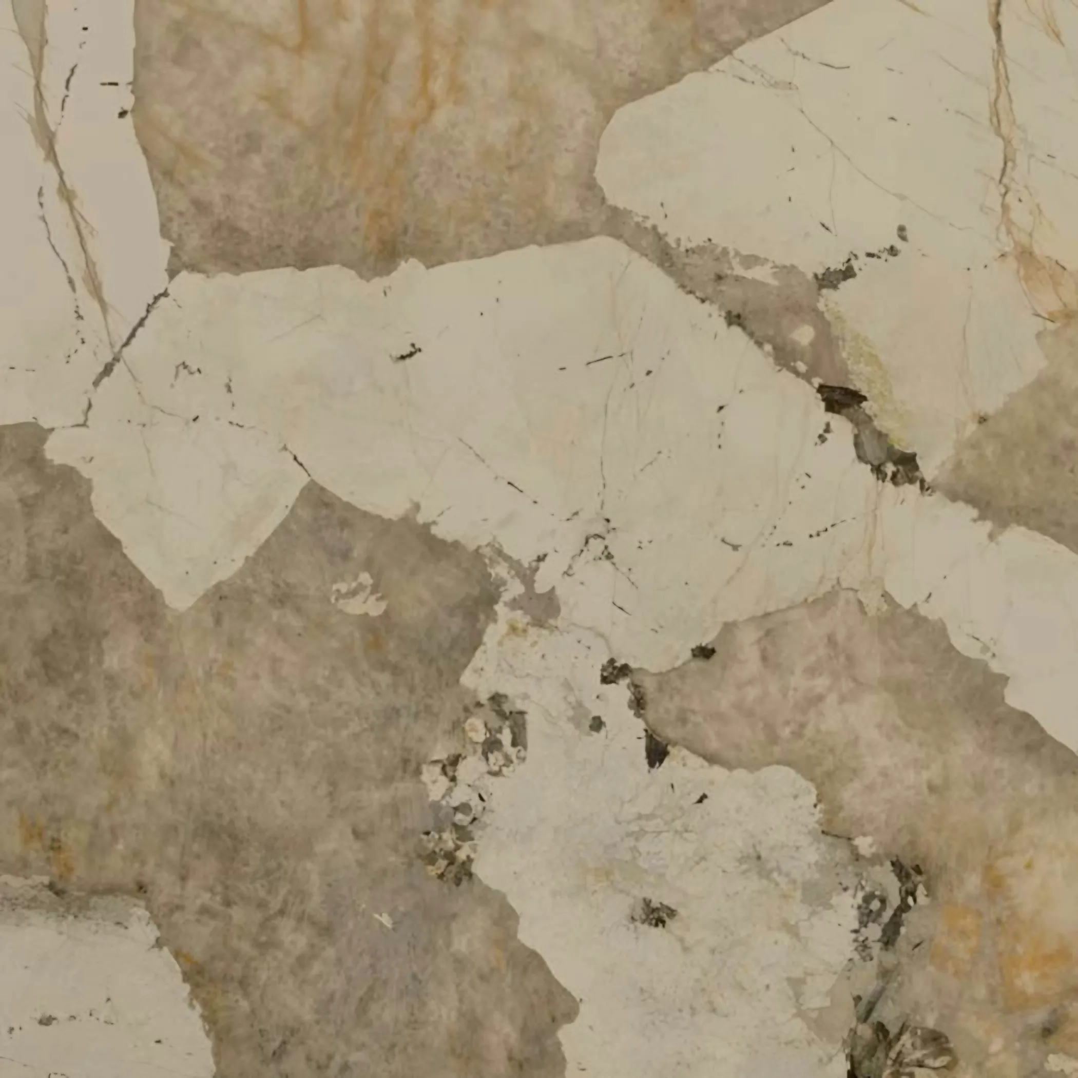
Dekton in Havering
In Havering, the three post-war decades account for 40.4% of the housing, among the highest in London.
Read more
Next door
Boroughs this one runs into
Havering borders 3 boroughs; 2 of them are on the same east London run.
Next step
Tell us where in Havering the kitchen is
Send the postcode (one of the 10 Havering districts we list) and rough run lengths, and we come back with an itemised quote and template dates on the east London run.
- Plans or photos are enough
- Itemised written quote
- Free to quote